
Home/Projects
Getty South
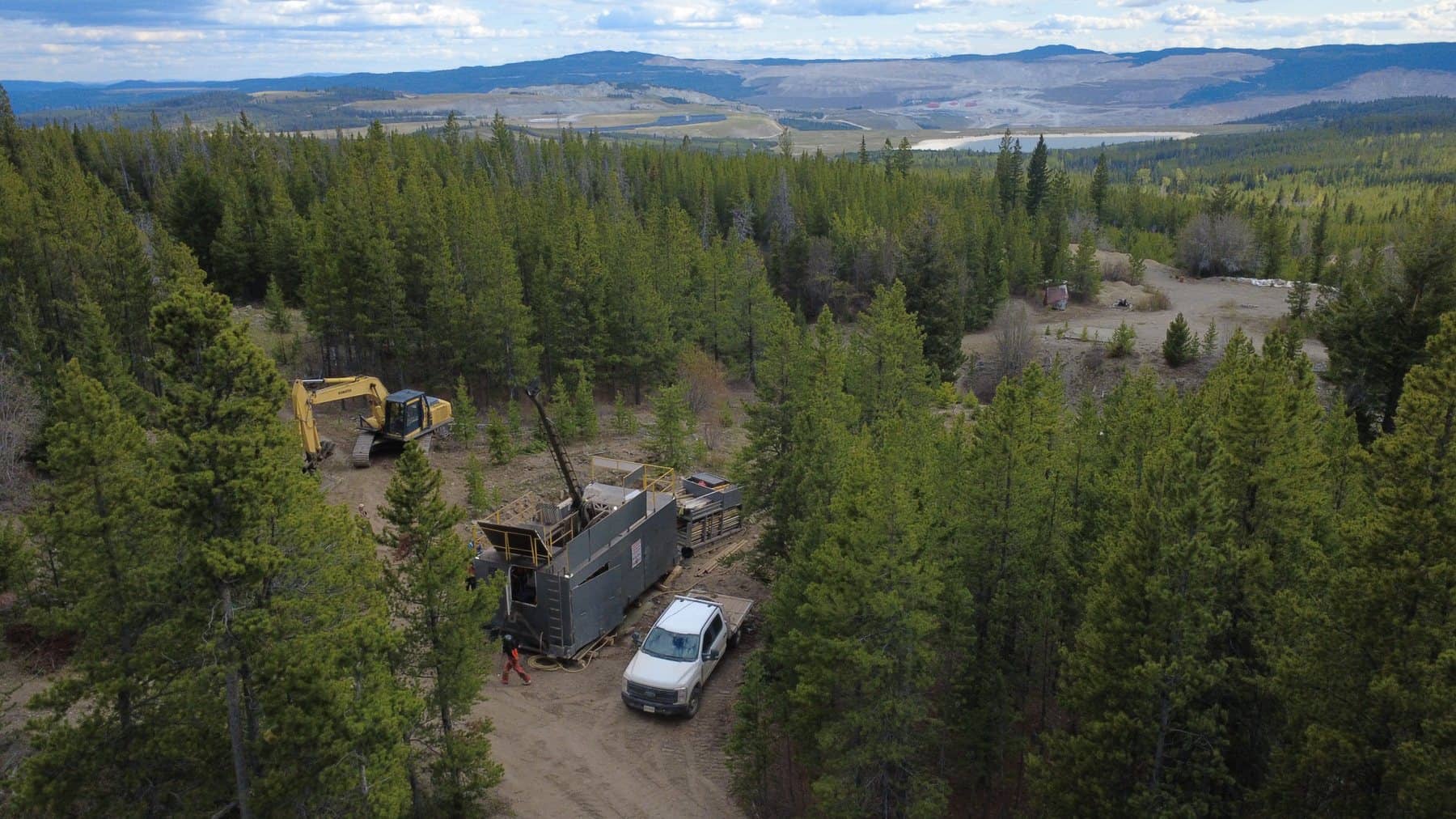
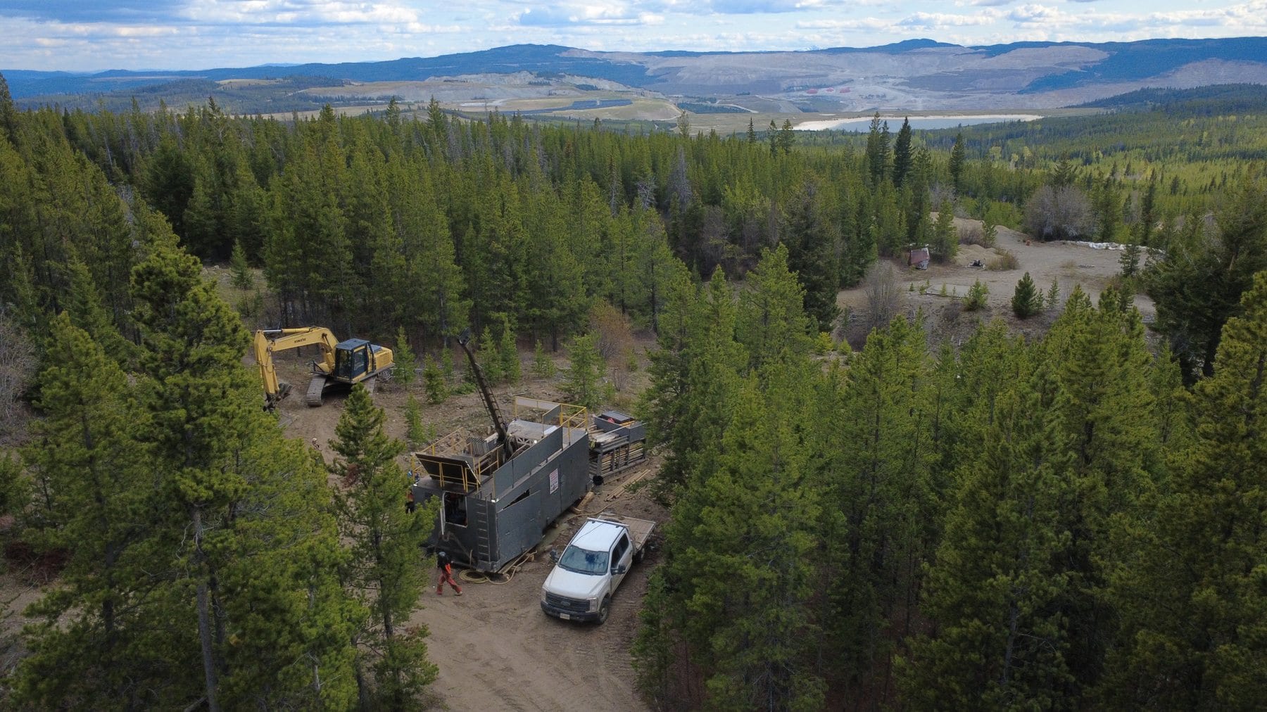
Getty South is a target area located 7 km north of Teck's Highland Valley Copper Mill and 3.5 km south of the Getty North resource target area. It was historically mined underground, most recently in the 1950s, and drilled in campaigns from the 1950s to the late 1990s.
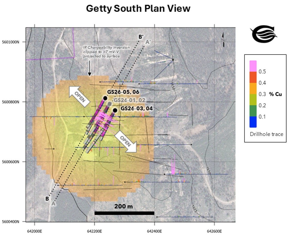
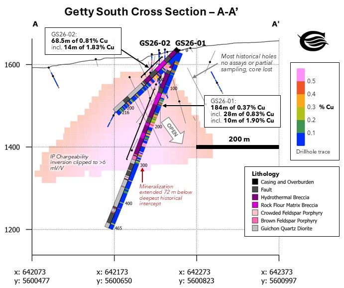
Most historical drilling is missing assay data or was only partially sampled, and certain hole location and survey information is uncertain. The Company undertook a relogging program in 2025 and 2026 to build a testable mineralization model, and Spring 2026 step-out drilling intersected shallow, thick, high-grade copper mineralization that remains open along strike and at depth.
- 45.1 Mt*
- Historical indicated at 0.377% Cu (2010 PFS)
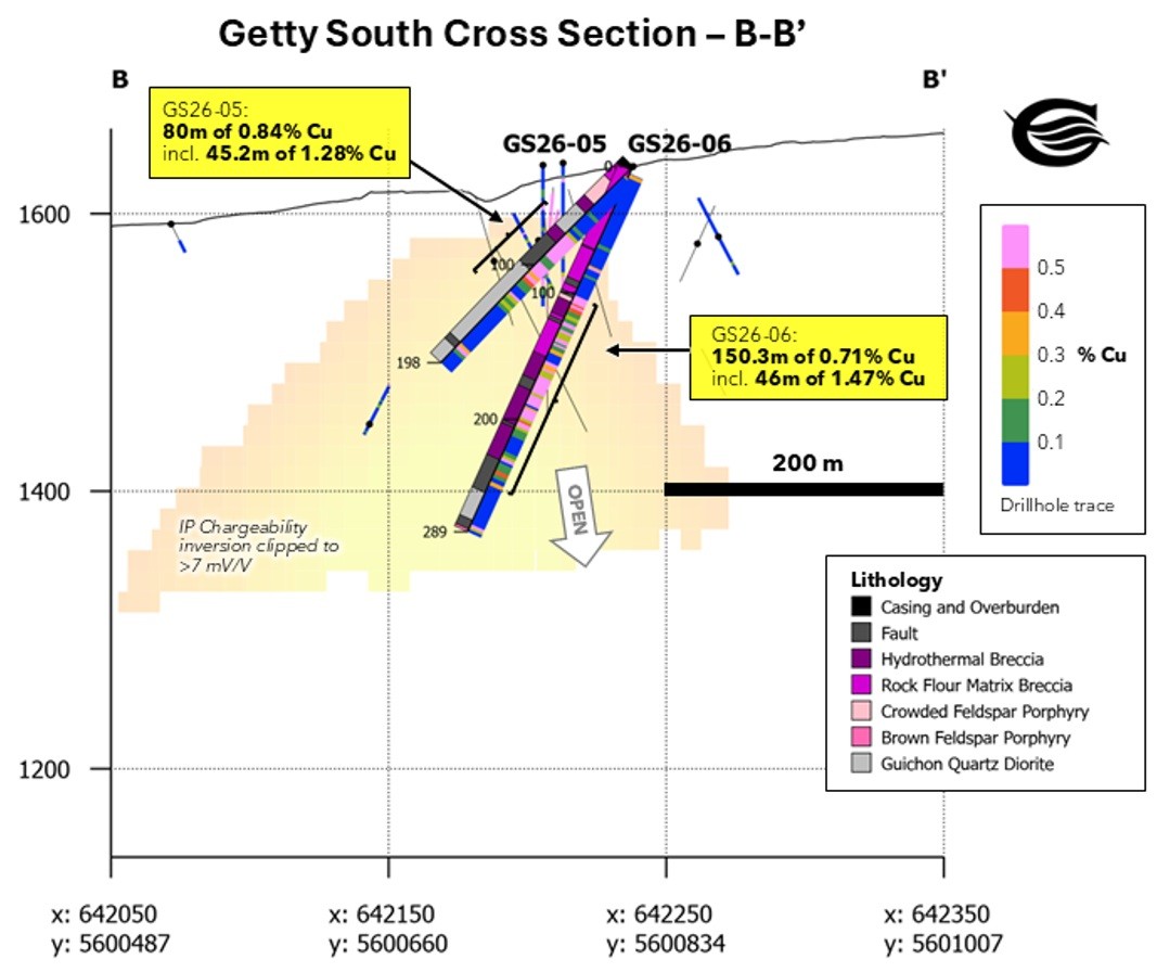
- 150.3 m
- @ 0.71% Cu from 101.7 m, incl. 46 m @ 1.47% Cu (GS26-06)
- 80 m
- @ 0.84% Cu from 60 m, incl. 45.2 m @ 1.28% Cu (GS26-05)
- 40–60 m
- Wide body of copper mineralization, open in both directions and beneath drilling
Location
Getty South is situated in British Columbia's Highland Valley, 3.5 km south of Getty North and 7 km north of Teck's Highland Valley Copper Mill. The project benefits from excellent infrastructure, established access, and a well-developed mining district.
Geology
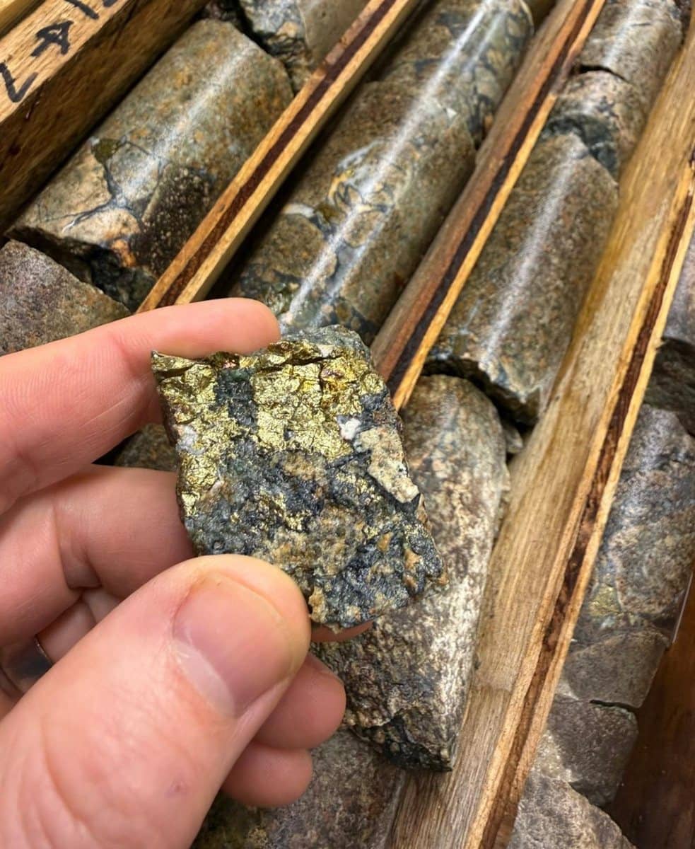
Copper mineralization occurs as relatively coarse-grained chalcopyrite and minor bornite in veins and hydrothermal breccia cement. The mineralization and associated hydrothermal brecciation are developed within a larger pre-mineral breccia body that encompasses most of the Getty South target area.
Both the breccias and mineralization are interpreted to have a porphyry-related origin. Historical drilling suggests the potential for multiple zones of higher-grade mineralization within the Getty South footprint.
Exploration
- 13 holes drilled in Spring 2026, extending breccia-hosted copper below historical intercepts
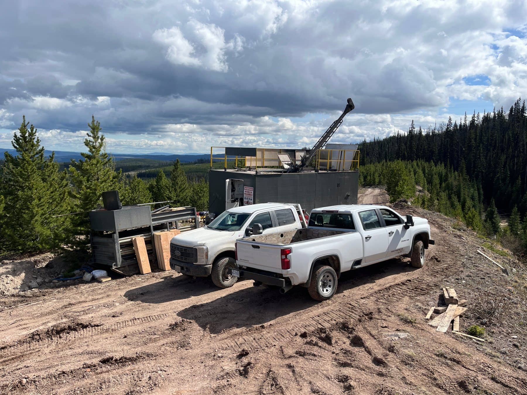
- Two drill rigs operating at Getty South since October 2026 as part of the expanded program of over 20,000 metres
- 132 historical drill holes (~20,734 m) and 1,775 m of underground development
The continuity and widths of mineralization support a 40 to 60 metre wide body of copper mineralization that trends north-northwest to south-southeast and remains open in both directions and beneath drilling. True widths are not yet fully defined, but are estimated to be between 30 to 60% of the downhole intercepts. Mineralization is hosted within a broad, low chargeability geophysical anomaly with a diameter of approximately 500 metres.
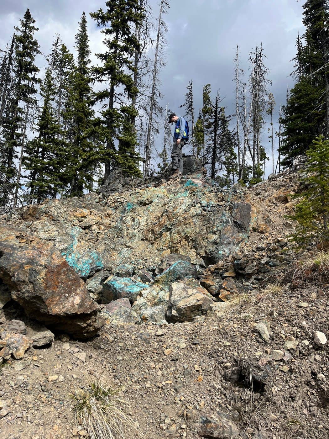
Local supergene oxidation of copper mineralization is present near surface and along faults and will be more fully characterized by ongoing sequential leach assaying.
| Category | Deposit | Tonnes (M) | Cu % | Mo % |
|---|---|---|---|---|
| Indicated resources | Getty North | 69.258 | 0.370 | 0.005 |
| Getty South | 45.148 | 0.377 | No data | |
| Total | 114.406 | 0.373 | – | |
| Inferred resources | Getty North | 18.166 | 0.271 | 0.005 |
| Getty South | 23.593 | 0.278 | No data | |
| Total | 41.759 | 0.275 | – | |
| Probable reserves | Getty North | 49.691 | 0.397 | 0.005 |
| Getty South | 36.870 | 0.405 | No data | |
| Total | 86.561 | 0.400 | – |
Molybdenum credits were not included in calculating reserves or resources and the molybdenum estimated grade is provided for additional information only. *Not considered current by the Company. The resource and reserve estimates herein are derived from the 2010 Prefeasibility Study (West Coast Environmental and Engineering, NI 43-101 compliant PFS technical report filed May 3, 2010 on SEDAR). Effective date: May 3rd, 2010. The Company has not updated the study, and the estimates should not be treated as current mineral resources or reserves.
Stay Close to the Story
Get drill results and news from Getty Copper as soon as they are released, or download the latest corporate presentation.